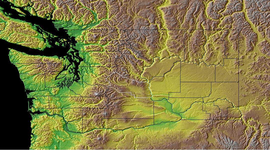
Hypsometric maps are maps that show elevation. This is usually down through contouring and tint. The above linked map from the Kittias County Website shows the state of Washington through hypsometric tinting and contouring. The dark green areas being the lowest and the white areas being the highest, with everything else falling in between.
No comments:
Post a Comment